
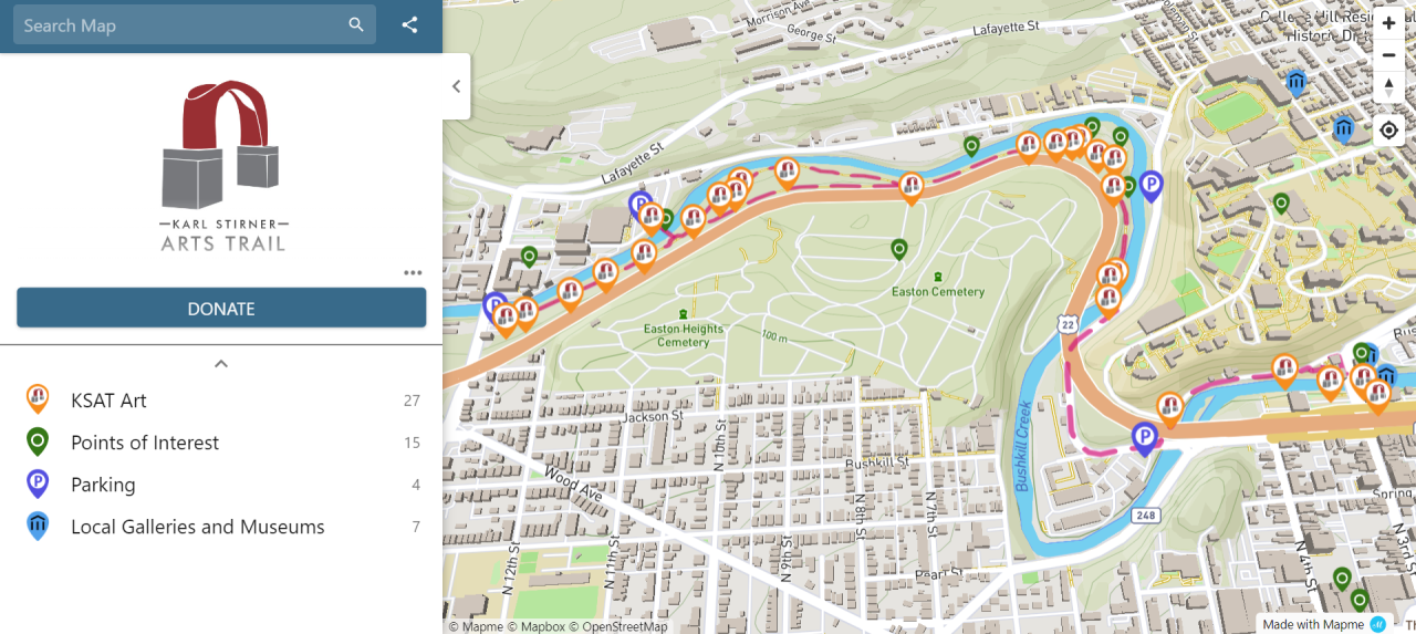
Walking along the Karl Stirner Arts Trail (KSAT) is more enjoyable than ever thanks to a new interactive map.
Map users can read a brief description and view an associated image by choosing an icon representing one of the trail artworks, points of interest, parking areas, and nearby galleries and museums. Most entries include a link to a webpage on the KSAT website with more information.
The map is located under Visit on the website and also can be used to plan a visit or simply learn more about the KSAT.
The map was developed by Amy Biggers in partnership with Jim Toia, executive director and curator of KSAT Inc., and consultant Chad Helmer of Helmer Company.
Funding for the map was provided by the Hotel Tax Grant Program through the Northampton County Department of Community & Economic Development.