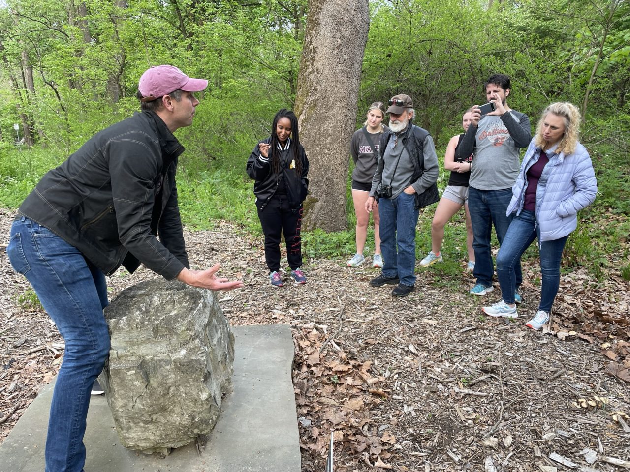
Prof. Dave Sunderlin discussed the geology of Easton and beyond during a Walk with the Profs event last week.


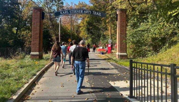
A dozen people joined Sunderlin as they walked from the Silk complex to the KSAT nature path, stopping first at the Upriver gneiss stone display. The gneiss stone brought there by artist Heidi Wiren Barlett is a metamorphic rock that comes from what geologists call the “basement” — the bottom-most of multiple layers of rock, Sunderlin explained, underneath it all. The College Hill ridge overlooking the Delaware River is made up of these rocks that are 1.2 billion years old, he added.
“Those are so old, there’s no animal life around [then],” he said. “There’s not a great sense of where the heck the continent of North America was at the time. All we know is that something was going on 1.2 billion years ago to squeeze the hell out of rocks so as to make them ‘taffy flow’ a little bit and get that sort of texture to them like that. A gneiss has like a shearing, saltwater taffy smearing to it.”
The process that squeezes the gneiss rock makes it hard and resistant to erosion, which accounts for the ridges in this area, said Sunderlin. The movement of tectonic plates is responsible for folding up the once-flat rock layers, and the erosion “knife” wears away the upper layers, exposing the gneiss rock.
The professor showed the group geologic maps indicating the types of rocks in this area and well beyond. A couple of the practical applications are knowing where sinkholes are more likely to be located and identifying areas where radon remediation might be needed.
Sunderlin next led the group to the Upriver Hardyston sandstone rock and stromatolites of the Allentown Formation rocks, which date back 500 million years.
“It’s the nicest example — get it? — of the non-gneiss rocks that I’ve actually seen anywhere in the Lehigh Valley as far as a boulder that we can move and put on a piece of siltstone,” he said.
The most dominant rock type in the Lehigh Valley comes from what’s called the Allentown Formation, he explained.
“Turns out that the Allentown Formation in Easton is way nicer than the Allentown Formation in Allentown, so it should be named the Easton Formation,” he joked. “…This Allentown Formation tells of a time when the earth looked very different. North America was located south of the equator. And since then of course, in 500 million years of time at fingernail growth speed, it has come north and is situated where we are now.”
Back then it was a tropical scene, said Sunderlin. Azure blue waters washed over the top of the continent and its exposed gneiss rocks, first laying down beachy sands and then tropical limey deposits.
Sunderlin recommended the free RockD app created by a team led by his friend and fellow geologist Shanan Peters, who digitally combined geologic maps together. Called “the Pokémon Go of geology” by one newspaper, the app reveals a detailed mapping of the rocks located wherever users are holding their smartphones, which is particularly fun when you’re a passenger in a traveling vehicle.
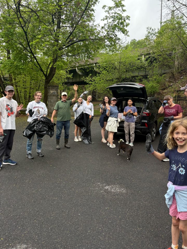
The event was the third and last of the April Walk with the Profs series featuring Lafayette College professors, including biologist Mike Butler and civil and environmental engineer Dave Brandes.
Stay tuned for more educational walking events along the Karl Stirner Arts Trail this year.